Select
Pozi’s dedicated selection tools extend the standard point-and-click enquiry mode to enable you to enquire on entire regions or paths on the map. The selection tools can be found by going to Tools > Select menu OR the current selection tool can be seen next to the menu at the top of the screen.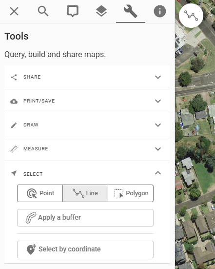
Select by line
To enquire on a line/path (for example, to select all the properties along a pipeline or other linear feature), use the line selection tool.
- click Tools > Select > Select by line
- click on the map to start drawing
- click on map locations to define the enquiry path
- double-click to finish
Select by regions
To enquire on a region:
- click Tools > Select > Select by region
- click on the map to start drawing
- click on map locations to define the boundary of the enquiry region
- double-click to finish
Select by coordinate
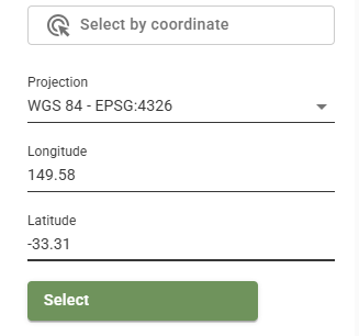
To find a coordinate and enquire that location:
- click Tools > Select > Select by coordinate
- choose the projection that your coordinate is in. Supported CRS are WGS84, GDA2020, and GDA2020/MGA Zones
- enter the coordinate pair
- click select
Select by buffer
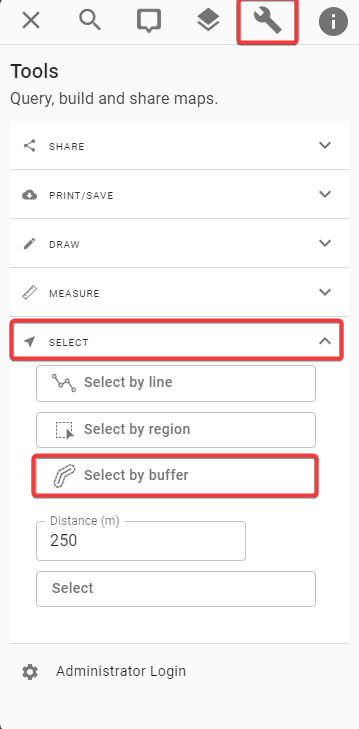
Pozi allows a buffer to be applied to the selection target. This is a buffer of the selection point location, selection line geometry or the selection polygons geometry. The result is a selection polygon which is a buffer of the orginal selection input.
- make a selection on the map
- click Tools > Select > Apply a buffer
- specify buffer distance in metres
- click Apply
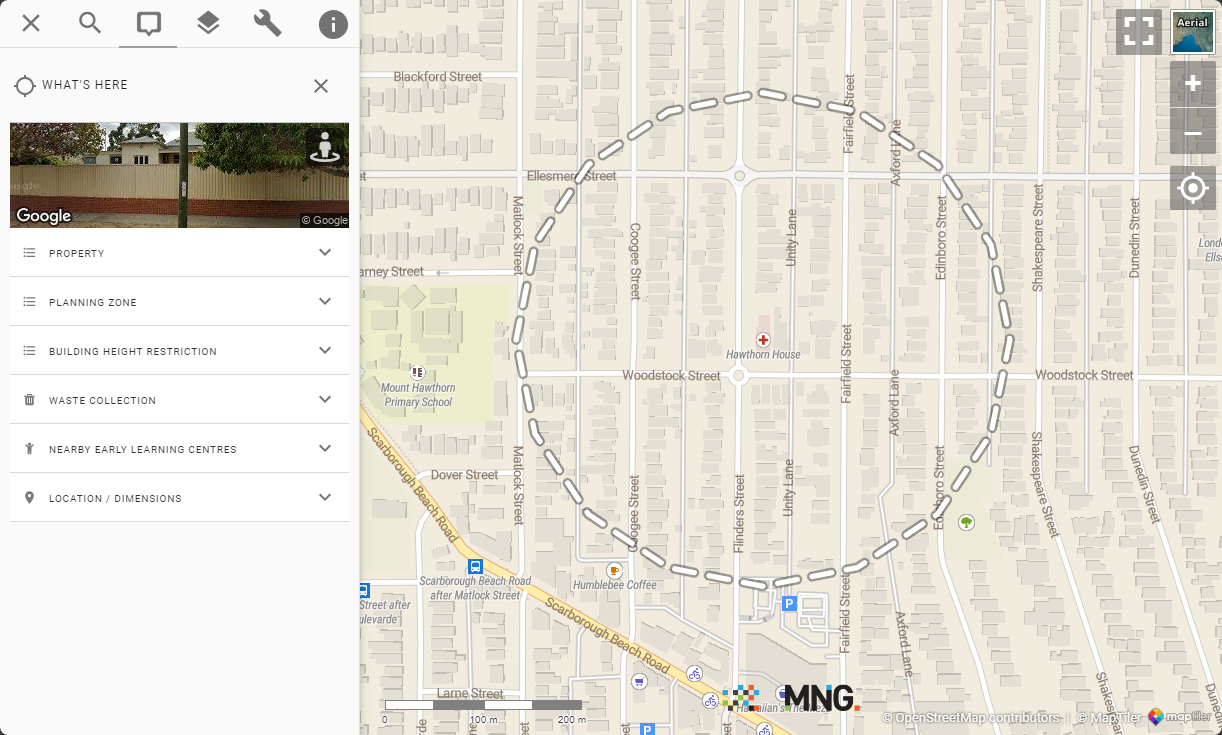
The map will display a dashed line marking the enquiry area and open the info panel with enquiry results.
Additional Point Locations
You can add point locations to any current What’s Here selection by holding down the Ctrl key and clicking on the map.